SOUTHEASTERN WASHINGTON ITINERARY
Day 1: Seattle to Potholes State Park
Your adventure starts heading up I-90 across Snoqualmie Pass the way so many drives east from Seattle do. For this trip, we found it best to stock up on grocery staples before setting out, as general grocery shopping really isn’t practical in this itinerary. (You will want to leave room in your camping menu, however, for the fresh fruits and vegetables of the Yakima Valley and the outstanding wines of this region—more on this further down the road.)
Roslyn, WA, is a charming lunch stop as you crest the Cascades. Most people know Roslyn as the setting for the Northern Exposure TV show, and the town retains the quirky charm captured by the series. Lunch options include the iconic Roslyn Café for a burger and ridiculously addicting Crispy Parmesan Fries, or go for a twofer and pick up a good book after lunch at Basecamp Books and Bites.
Back on the road, the landscape starts to open up outside of Ellensburg as you head towards the Columbia. After crossing the river at Vantage, hang a right to get off the Interstate on onto a pleasing two-laner, Highway 26 headed towards Othello. From here on out, you’ll be driving back roads where you can slow down, sink into the scenery, and let your mind wander into the great outdoors. Your next turn is onto Highway 262, north to Potholes State Park. You are driving through the Columbia Basin, which was once filled with glacial floodwater. Now, the Columbia Basin Irrigation Project has created the Potholes Reservoir, which is surrounded by several designated wildlife areas.
You’ll likely go to sleep tonight to the sounds of a frog symphony, but be sure to hit the sack early so you can get up early for prime wildlife viewing the next morning. In our early morning walk around the reservoir, we were treated to the sight of a bald eagle taking off from a nearby marsh and flying low just 20 feet or so above us.
Day 2: Potholes Reservoir to Palouse Falls (80 miles, 2.5 hours with some stopping in Columbia National Wildlife Refuge)
Head south through Columbia National Wildlife Refuge where thousands of migrating waterfowl stop by on their way to breeding grounds in Alaska and Canada. The area is also part of the Sandhill Crane migration route as these birds hit surrounding farm fields for food. This stunning canyon country is home to a great variety of wildlife in its riparian corridors. Take time to pull over your Westy, pull out your binoculars, and say hello to some feathered friends.
Once outside of the wildlife refuge, hang a left and head towards Othello on Highway 26. You’ll travel this pretty road all the way to Washtucna where you turn right on Highway 260, then Highway 261 to get to the Palouse River and the remote Palouse Falls State Park. Highway 261 is mostly gravel, so you’ll really slow down at this point and enjoy the vast wilderness scenery all around.
Palouse Falls—all we can say is WOW. If you’ve never visited the “Grand Canyon of Washington State”, Palouse Falls is a must-see destination for every self-respecting, outdoors-loving, card-carrying PNWer. Palouse Falls State Park is a wonderful small park up on the canyon offering dramatic views of the falls. There are 10 campsites here in a lovely grove of trees; scores of hiking trails around the canyons; and a healthy population of yellow marmots (also known as VARMINTS) that live in canyon rock caves and whose antics are pretty fun to watch. Look for bald eagles circling high above the churning river—this is a dreamy spot to park the Westy and sink into the wonder of the natural world.
Day 3: Palouse Falls to Walla Walla (54 miles, 2 hours on some slower roads)
Our initial idea was to camp in Lewis & Clark State Park about 12 miles outside of Walla Walla and dip into the state’s best wine-tasting town for good wine and food. But as we drove through the park, it was not everything that we hoped for, so we kept going into Walla Walla. Slow down to say hi to Izzy the resident camel of Waitsburg on your way. He’s really friendly and photogenic, too.
You may want to go hi-low and stay in town at the Blue Mountain Valley RV park on the outskirts of downtown Walla Walla so you can stretch your legs and walk into town for dinner at one of the town’s best restaurants, Saffron Mediterranean Kitchen (a small and popular spot, reservations recommended). While the RV park isn’t the most scenic spot ever, it is quiet and tucked away just on the edge of town plus it had immaculately clean bathrooms and showers, which are a great luxury when Westy camping for a week.
Start your evening at Charles Smith’s hip downtown tasting room—go here for a little rock-n-roll with your grapes, basking in the beautiful indoor-outdoor space of this converted old auto-repair warehouse. From here, Saffron is a leisurely short stroll through Walla Walla’s charming old-town downtown streets. Run by Chef Owner Chris Ainsworth and his wife, Island, Saffron’s imaginative takes on Spanish & Italian tapas, pizza, and pasta leave you with indelible food memories as you linger over surprising flavors and the region’s best wines (shown here El Corazon’s 2014 Syrah, a bottle that seriously blew our minds).
If you happen to have a few hours or an afternoon to spare, you might want to rent bikes from Allegro Cyclery and pedal around the Walla Walla neighborhood filled with historic homes NE of downtown or along the lovely Mill Creek path east of town. We also recommend packing a picnic to enjoy at the Amavi Cellars tasting room perched up on a hill with sweeping views of the Walla Walla valley and the Blue Mountains beyond.
Day 4: Walla Walla to Maryhill State Park (147 miles, 3 hours with a lunch stop)
Head west out of Walla Walla on Highway 12, which becomes Highway 730 after the Wallula Junction. Soon you’ll be rolling along the Columbia, so put on some Woody Guthrie and enjoy the beauty of the drive. Roll on, Columbia, roll on! the beauty of the drive. Roll on, Columbia, roll on!
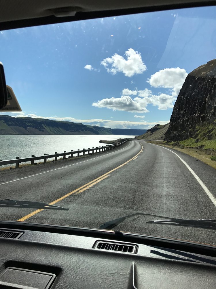
About 47 miles from Walla Walla, stop for lunch at a pretty little park on the Oregon side of the Columbia, Warehouse Beach, a spot where Lewis & Clark also passed through over 200 years ago. Today the park offers beautiful canyon views, bird-watching along the marshy shorelines, and a swimming beach. Cross over to the Washington side at Umatilla and pick up Highway 14. Heading west, this is an achingly gorgeous drive—sit back and enjoy the stunning canyon views along the way to Maryhill. Maryhill Winery—perched high above the Columbia—has become famous for its amphitheater concert series in this ridiculously beautiful setting, and the wines aren’t bad either. Visit the winery to pick up a bottle or two before you head to your campsite at nearby Maryhill State Park, nestled right down on the Columbia River waterfront.
Maryhill State Park is a beautiful campsite with 4700 feet of waterfront access. Park your Westy, kick back, and relax in this natural setting, or explore local attractions like Goldendale Observatory State Park or Maryhill Museum of Art.
Days 5-6: Maryhill State Park to Yakima River Canyon (97 miles, 2 hours)
Head north on Highway 97 through Goldendale and the Yakama Indian Reservation. Turn up the tunes and enjoy golden hills accented with green river valleys along this route. If you’re lucky, you may get a glimpse of the region’s wild horses—somewhere around 12,000 wild horses roam free across this country.
Rolling into Yakima, Gilbert Cellars has a relaxing downtown tasting room and Cowiche Canyon Kitchen & Ice House is a delicious spot for lunch or an afternoon snack.
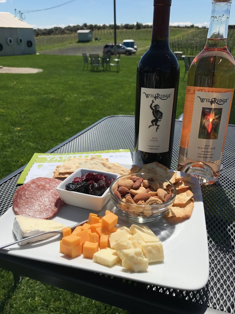
Spend your afternoon visiting the area’s best wineries, breweries, and farms. The Yakima Valley is home to more than 80 wineries and is also known for its craft breweries since the region produces about 75% of the nation’s hops crop.
You’ll also want to pick up a Yakima Valley agricultural map and visit some of the farms and roadside stands in this fertile valley to procure some of the valley’s fresh foods for your next two nights camping along the Yakima River.
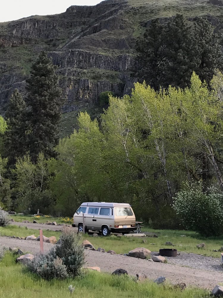
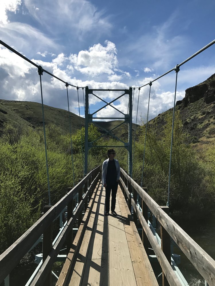
Then get ready for one of the most scenic drives in Washington State as you pick up Highway 821 (also known as Canyon Road) and drive through this deep-cut canyon alongside the Yakima River. There are 4 BLM campgrounds along the Yakima River, all fairly rustic and beautifully scenic. We chose the Umtanum site, which has access to great hiking trails all around the campground and is also a popular spot to put in for river floating.
Day 7: Yakima River Canyon back to Seattle (boo hoo!, 127 miles, 2.5 hours)
Try not to be too sad as you head back home and your Westy adventure draws to a close. Instead, spend the last day’s drive dreaming about your next adventure! We’re thinking of exploring more of the Ice Age flood country in eastern Washington, next time heading north from I-90 into the Coulee country north of Moses Lake. See you on the road!


